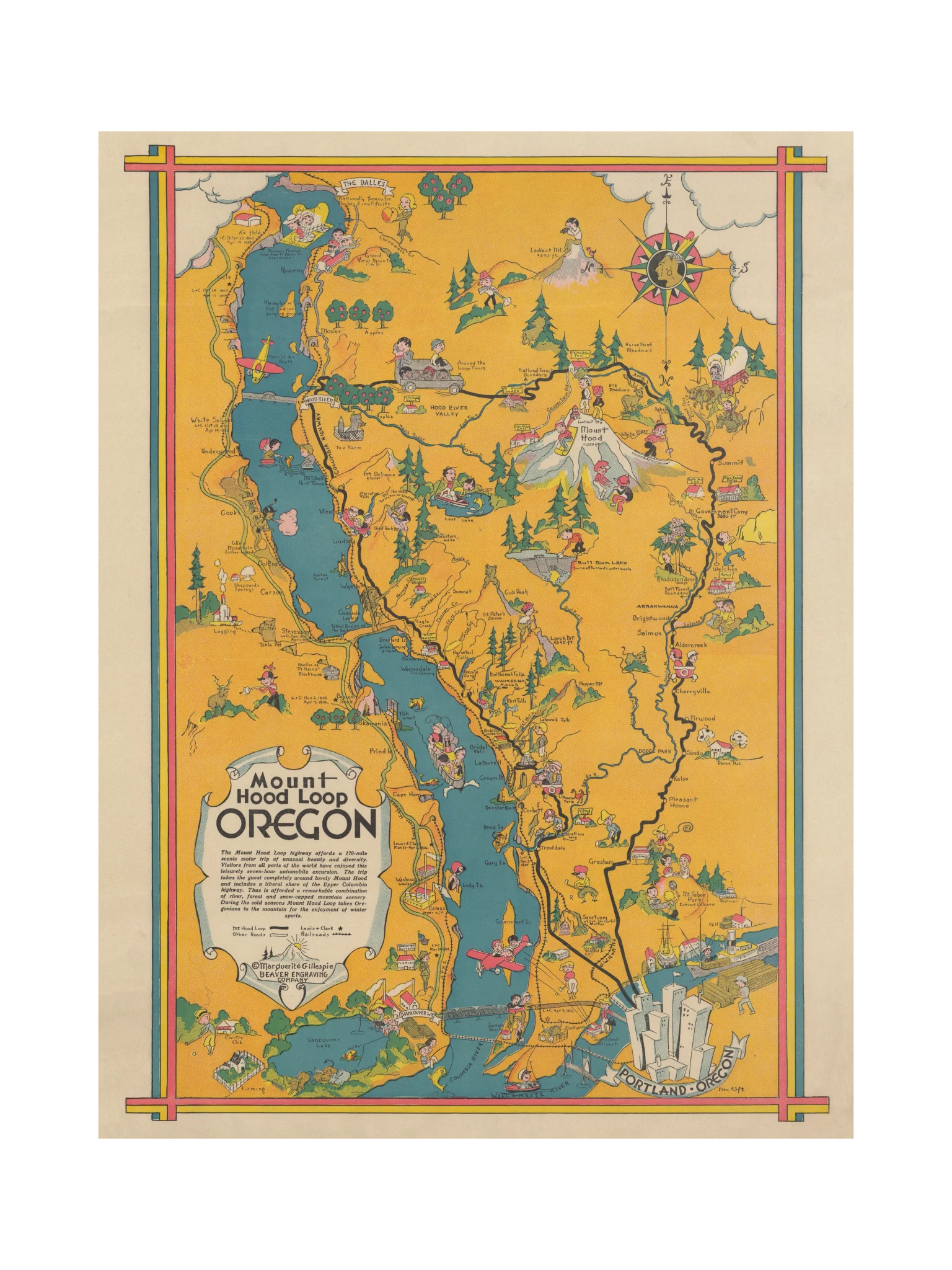
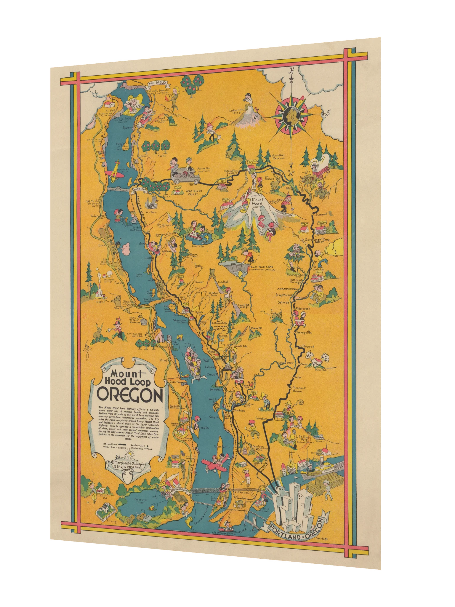
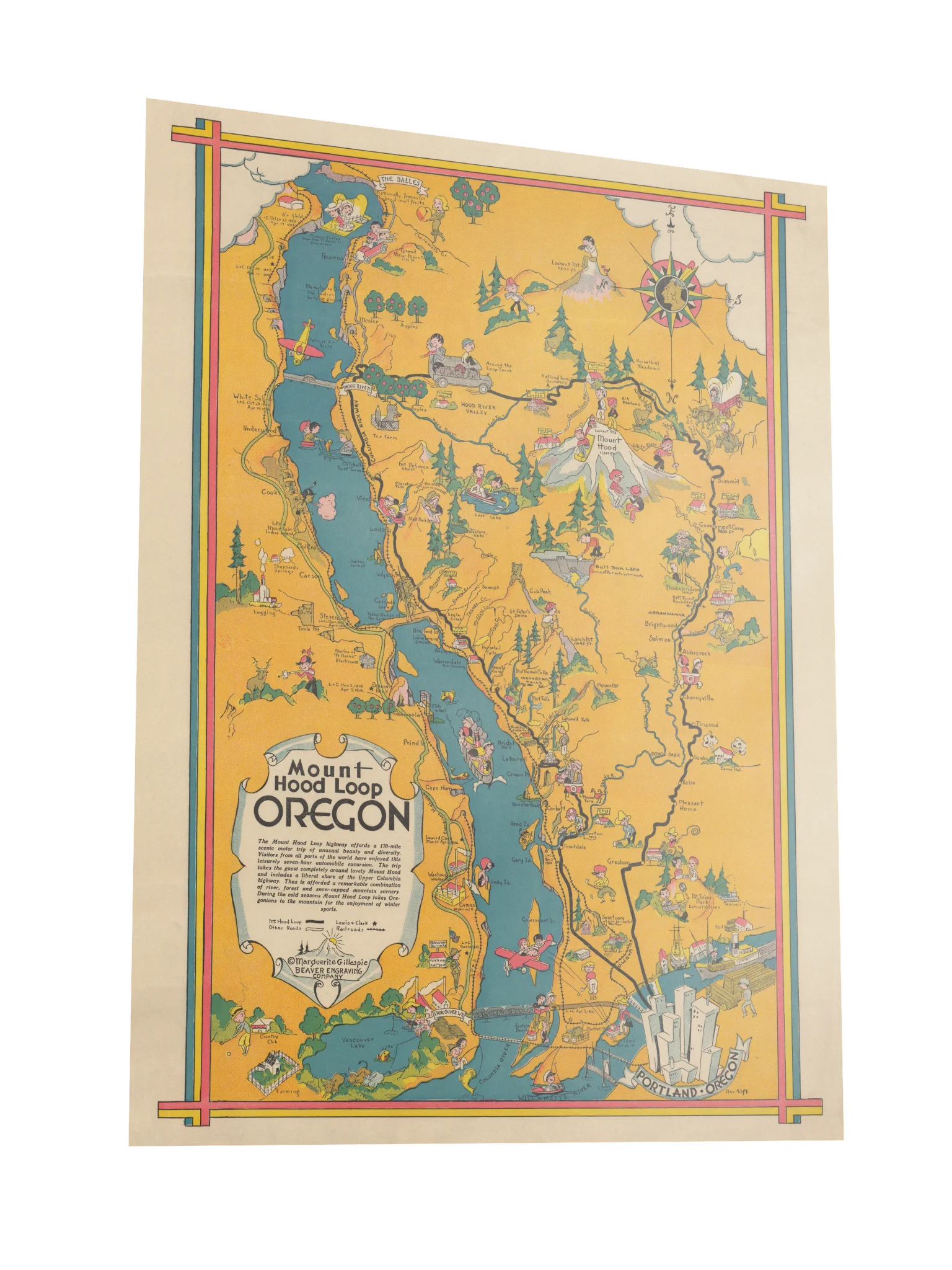
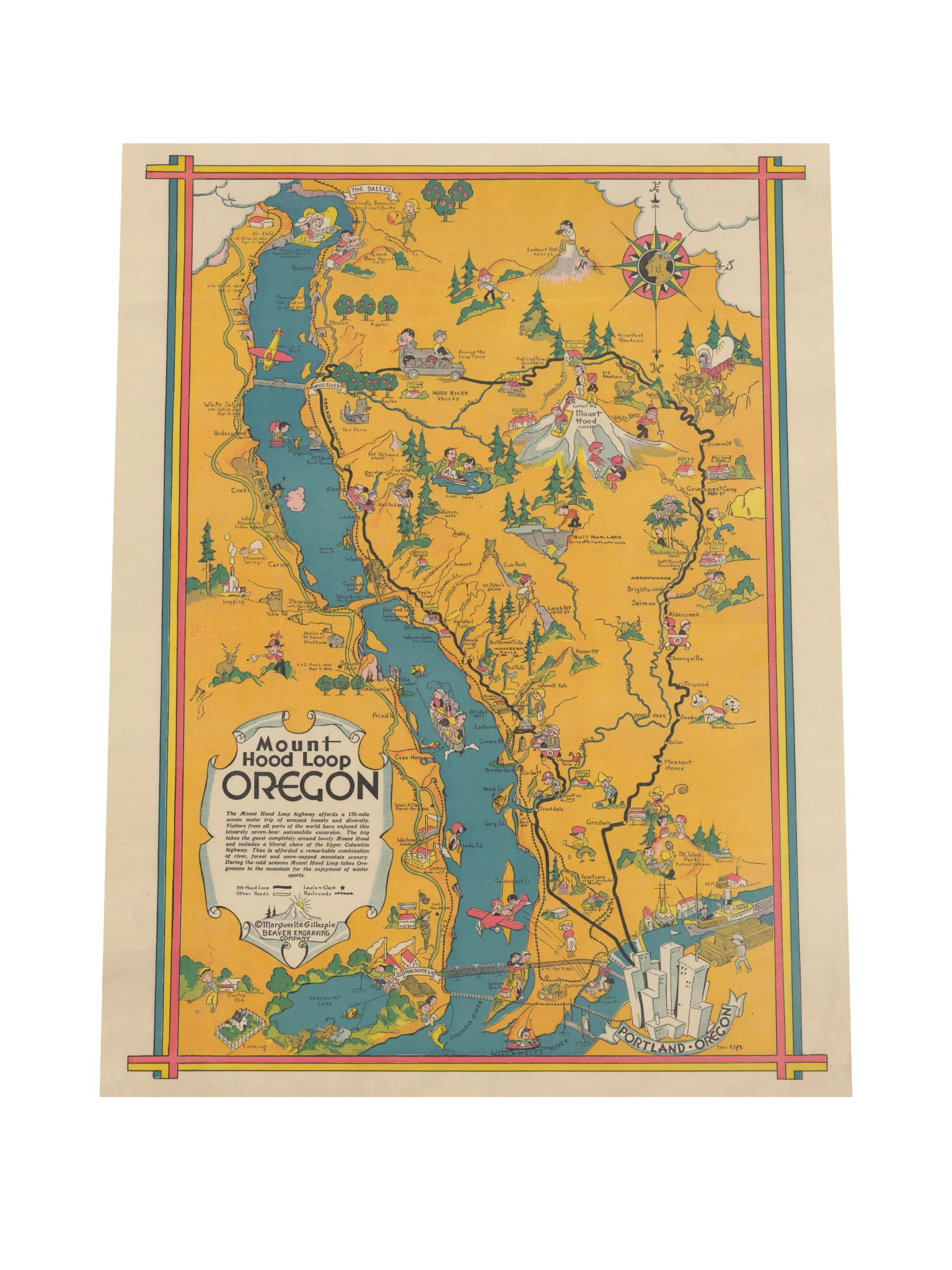
Mount Hood Loop Poster
In 1932, apparently the road from Portland around Mount Hood was populated almost entirely by skiers, fishermen, lumberjacks, apple pickers, wildlife, and people having minor adventures beside the highway.
Marguerite Gillespie’s illustrated map of Oregon’s Mount Hood Loop turns a 170-mile drive through the Columbia River Gorge and around Mount Hood into something closer to a comic travelogue. Multnomah Falls, Hood River, Government Camp, Crown Point, and dozens of smaller landmarks are all here, surrounded by tiny scenes that reward getting close and looking around.
Printed as a poster with the original warm colors, decorative border, handwritten labels, and wonderfully busy illustrations intact, it’s a reminder of an era when a road map could tell you where you were going and make the trip look irresistible at the same time.
More details
- Paper thickness: 0.26mm
- Paper weight: 189 g/m²
- Opacity: 94%
- ISO brightness: 104%
EU GPSR Product Information:
- Manufacturer contact information
- Name: Modern Hobos
- Email: contact@support.modernhobos.store
- Postal address: PO Box 5696 Santa Monica, CA 90405
- Additional information: This product is made for adults. Meets the small parts and magnetic flux index level requirements. 2 year warranty in EEA and UK, established by Directive 1999/44/EC.
Quality Guarantee & Returns
- Quality is guaranteed. If there is a print error or visible quality issue, we'll replace or refund it.
- Because the products are made to order, we do not accept general returns or sizing-related returns.