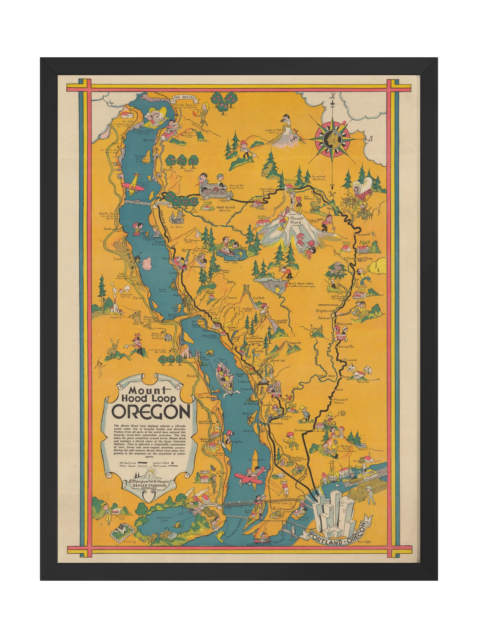
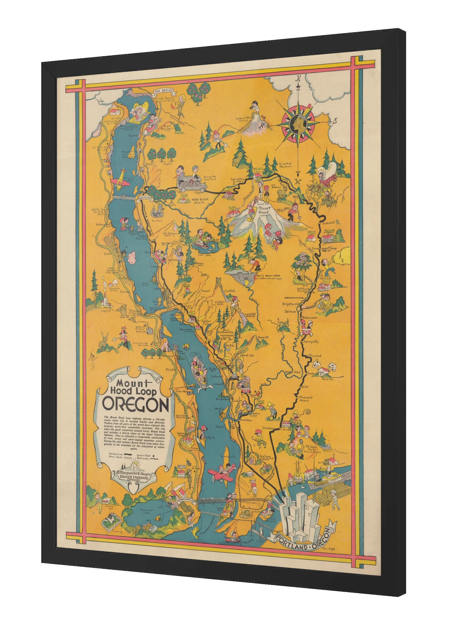
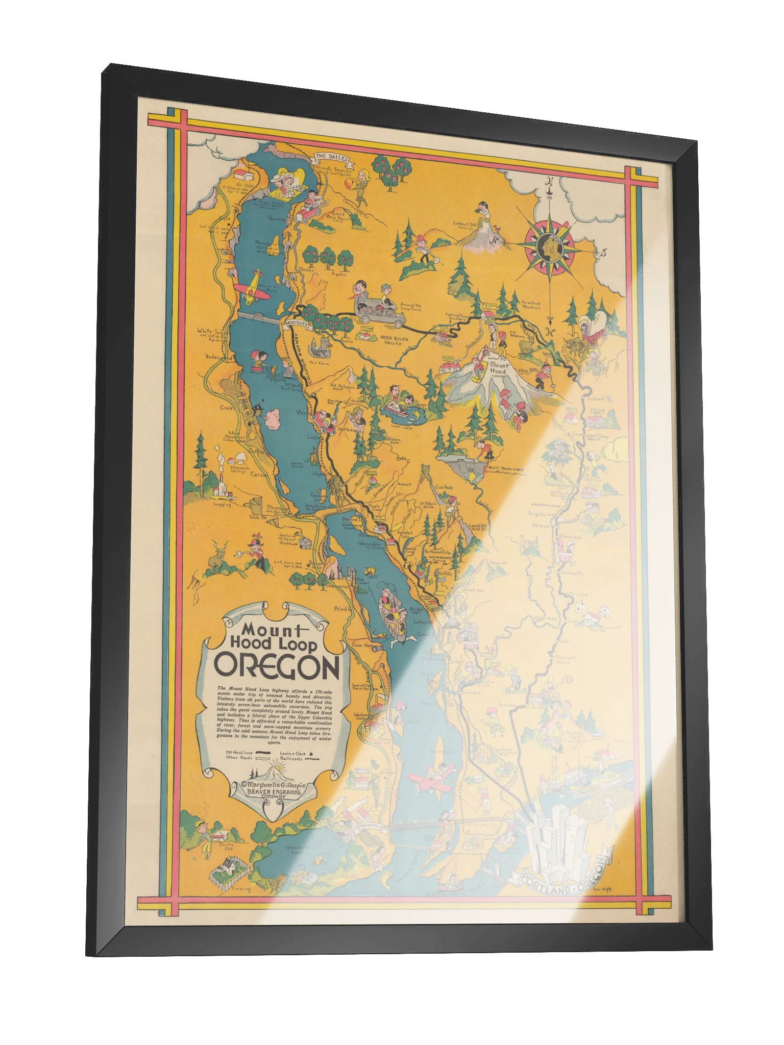
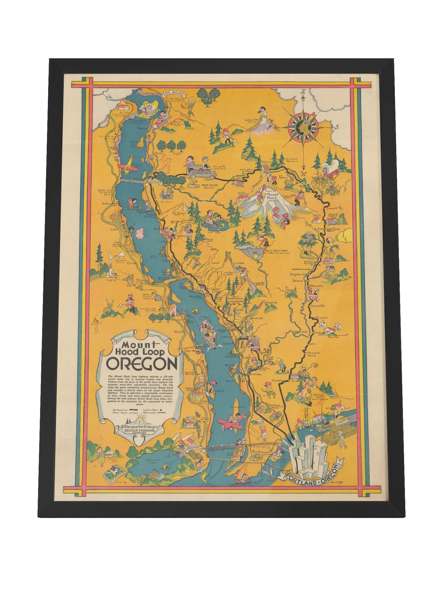
Mount Hood Loop Framed Print
Long before GPS started telling us where to turn, there were maps like this. Created by Marguerite Gillespie in 1932, this wonderfully illustrated map follows Oregon’s Mount Hood Loop from Portland through the Columbia River Gorge, around Mount Hood, and back again. Along the way, Gillespie packed the landscape with skiers, fishermen, apple orchards, waterfalls, wildlife, roadside attractions, and more than a few characters who seem to be having a considerably better time than anyone depicted on a modern highway map.
Look closely and familiar landmarks begin appearing everywhere—Multnomah Falls, Hood River, Crown Point, Government Camp, and the Columbia itself. The geography is useful enough, but usefulness clearly wasn’t the only objective.
Reproduced as a framed print with its original warm colors, decorative border, and period typography intact it’s part map, part travel advertisement, and part snapshot of the Pacific Northwest discovering the pleasures of the open road.
More details
- Alder, semi-hardwood frame from renewable forests
- 75" (1.9 cm) thick frame
- Acrylite front protector
- Due to local wood import regulations, framed posters cannot be shipped to Australia.
EU GPSR Product Information:
- Manufacturer contact information
- Name: Modern Hobos
- Email: contact@support.modernhobos.store
- Postal address: PO Box 5696 Santa Monica, CA 90405
- Additional information: This product is made for adults. Meets the lead level requirements. 2 year warranty in EEA and UK
Quality Guarantee & Returns
- Quality is guaranteed. If there is a print error or visible quality issue, we'll replace or refund it.
- Because the products are made to order, we do not accept general returns or sizing-related returns.